

After 13 years with the same seafloor-mapping system, the research vessel Nautilus from the non-profit Ocean Exploration Trust (OET) is surveying the deep Pacific around Wake Atoll, a U.S. territory located about 3,000 miles east of the Philippines. The ship is now putting a newly installed multibeam sonar system to work at depths of up to 11,000 meters (36,089 feet), approximately 6.8 miles and deep… The post Research vessel Nautilus is mapping the bottom of the Mariana Trench with new multibeam sonar appeared first on Research & Development World .
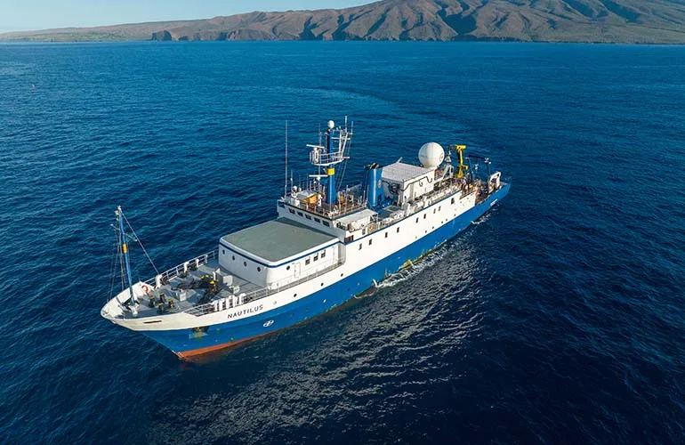
Research vessel Nautilus is mapping the bottom of the Mariana Trench with new multibeam sonar
Julia Rock-Torcivia